
Modern surveying demands more than just precision—it requires reliability, speed, and cost efficiency. At the core of INTEC’s solutions lies GNSS (Global Navigation Satellite System) technology, integrating constellations such as GPS (United States), GLONASS (Russia), Galileo (Europe), and BeiDou (China). By harnessing signals from multiple systems simultaneously, INTEC delivers faster fixes, greater accuracy, and resilience even in the most demanding environments.
The INTEC Advantage in GNSS Technology
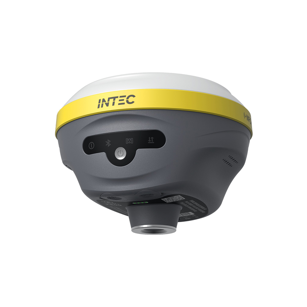
INTEC integrates advanced GNSS/GPS technology into its surveying instruments, offering professionals the best balance between performance and price. Key benefits include:
- High Accuracy with RTK: Centimeter-level precision for reliable measurements in real time.
- Multi-Constellation Support: GPS, GLONASS, Galileo, and BeiDou for maximum availability and coverage.
- Strong Performance in Challenging Environments: Reliable results even under vegetation, urban canyons, or rugged terrain.
- Global Reach: Seamless operation across regions, making INTEC instruments versatile for local and international projects.
Quality Meets Affordability
What sets INTEC apart is its ability to deliver cutting-edge GNSS performance at a fraction of the cost of many competitors. Surveyors no longer need to compromise between price and quality—INTEC provides both. This makes the technology accessible to small firms, independent professionals, and large-scale projects alike.
Why Professionals Choose INTEC
Surveyors and engineers choose INTEC because it offers:
- Higher Productivity – Reduce field time with faster, more reliable data collection.
- Lower Costs – Affordable pricing and fewer errors mean savings on every project.
- Unmatched Value – Advanced GNSS performance without the premium price tag.
- Future-Ready Instruments – With innovations such as dual-frequency receivers, advanced filtering algorithms, and digital integration, INTEC ensures professionals are equipped for tomorrow’s challenges.
The Future of Surveying with INTEC
As GNSS technology evolves with features like PPP (Precise Point Positioning), 5G integration, and enhanced satellite coverage, INTEC is actively incorporating these innovations. This commitment guarantees that users benefit from state-of-the-art performance while still enjoying INTEC’s reputation for affordability.
Conclusion
In today’s competitive surveying industry, precision and profitability go hand in hand. INTEC makes it possible to achieve both by combining advanced GNSS/GPS technology with unbeatable prices. For professionals seeking accuracy, speed, and reliability without overspending, INTEC is the smart choice.