Modern surveying demands precision, reliability, and speed. At the core of these requirements lies GNSS (Global Navigation Satellite System), an umbrella term for constellations such as GPS (United States), GLONASS (Russia), Galileo (Europe), and BeiDou (China). Each brings its own satellites and frequencies, but together they form a global infrastructure that delivers highly accurate positioning data.
While GPS alone represents a single constellation, today’s multi-constellation GNSS receivers can track signals from several systems simultaneously. The result: faster fixes, greater accuracy, and improved performance in challenging environments.
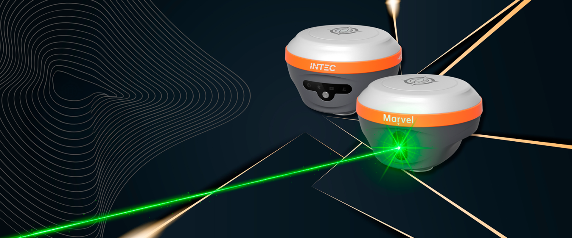
GNSS in INTEC Surveying Solutions
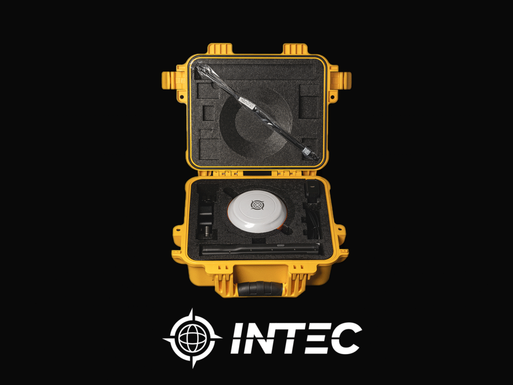
INTEC integrates advanced GNSS technologies into its surveying instruments, ensuring professionals work with reliable, consistent, and precise data. Key benefits include:
- Centimeter-Level Accuracy when combined with RTK (Real-Time Kinematic) techniques.
- Resilience in Urban and Rural Environments, even in areas with obstructed skies caused by vegetation, terrain, or tall buildings.
- Global Coverage, enabling seamless operation across regions and projects.
For example, INTEC’s GNSS receivers are designed to perform under demanding conditions such as infrastructure projects, cadastral mapping, or environmental studies.
Why Professionals Choose INTEC
Surveyors and engineers care about results. By integrating GNSS, INTEC enables:
- Higher Productivity, reducing field time.
- Lower Operational Costs, thanks to fewer errors and rework.
- Versatility in the Field, with instruments that adapt quickly to varying conditions.
Most importantly, INTEC delivers this cutting-edge technology at highly competitive prices, making advanced GNSS solutions accessible to a wider range of professionals.
INTEC’s Technological Edge in GNSS
While GNSS is a global standard, implementation makes the difference. INTEC enhances its products with:
- Multi-Constellation Support (GPS, GLONASS, Galileo, BeiDou).
- Advanced Filtering Algorithms to minimize errors from multipath and temporary obstructions.
- Digital Integration, transforming raw location data into actionable insights for planning and decision-making.
The Future of Surveying with INTEC
The GNSS landscape is evolving with improved coverage, accuracy, and speed. Innovations such as dual-frequency receivers, PPP (Precise Point Positioning), and 5G integration are shaping the next generation of surveying tools. INTEC is already exploring these advancements to ensure its products remain at the forefront.
For end-users, this means greater reliability, enhanced performance in complex environments, and readiness for future technological demands.
Conclusion
In today’s surveying world, precision equals profitability. INTEC delivers on this principle by combining advanced GNSS/GPS technology with affordable pricing, making its solutions one of the best options on the market. Professionals and organizations can rely on INTEC instruments for accuracy, speed, and confidence in every project.